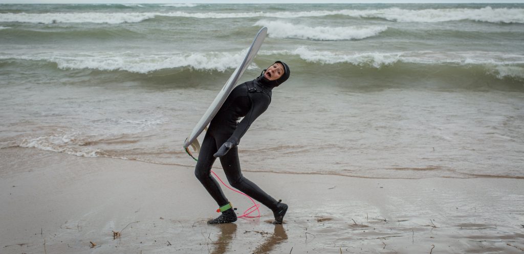
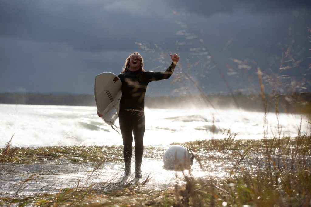
Surf forecasting on the Great Lakes can be challenging, and has many important parts of the equation, but with a little dedication & determination, your hard work is bound to pay off with some stellar, and potentially secluded, Great Lakes surf! Don’t fear a good old fashioned skunking… it’s just bound to happen from time to time. The lack of a reliable Surfline report and consistent surf makes each session here on the Lakes that much more rewarding. It’s all about finding enjoyment and adventure in the journey – this is the unique nature and beauty of the Great Lakes surfing experience. Let’s dive in!


- Look for sustained wind from the same direction over a long duration of time. Typically the longer and stronger the wind blows, the greater the size of the wave, or at least it brings a greater opportunity for waves.
- There is major importance in wind direction, for a sustained 20mph wind blowing from the East is going to create stellar surf for our friends on the other side of the lake, but it will be glassy with wind blowing off shore here in our neck of the woods. Look at a map and find a beach near you – what direction does the wind need to blow to hit said beach, and more so, what is the wind direction that will provide the longest amount of fetch (v) at that particular beach?
- Keep in mind that when you are reading wind charts or forecasts, the declared wind direction refers to where the wind is coming from.
2. Fetch
- Alright let’s talk fetch! Fetch is the distance wind travels across the water. This is a majorly important factor for forecasting waves on the Lakes. The greater the fetch, the grander the wave!
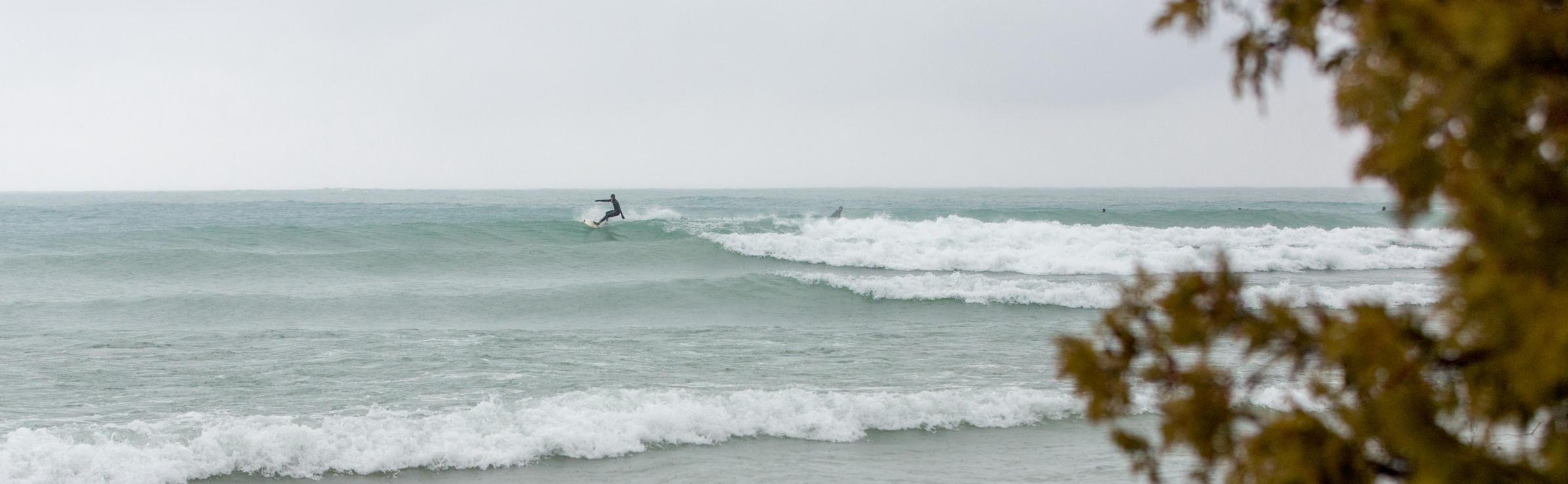
- Here along the coastline of Northern Lake Michigan, we are fortunate to get waves from various wind directions, but when seeking out a clean, sizeable wave, we want an ample amount of fetch. For example, here in and around Empire Beach, we get waves from due West rather consistently, however being that there is only about 60 miles for that wind to rip across the lake, a west wind shows up with sloppy waves stacked pretty tightly together. Throw a little south/southwest wind & 250+ miles of fetch into the equation and you’ll find greater intervals between waves as well as greater wave height (also dependent on the above factors).
- Looking at a map, what is the wind direction that would carry the most amount of fetch at beaches near you?
3. Bathymetry (under water topography)
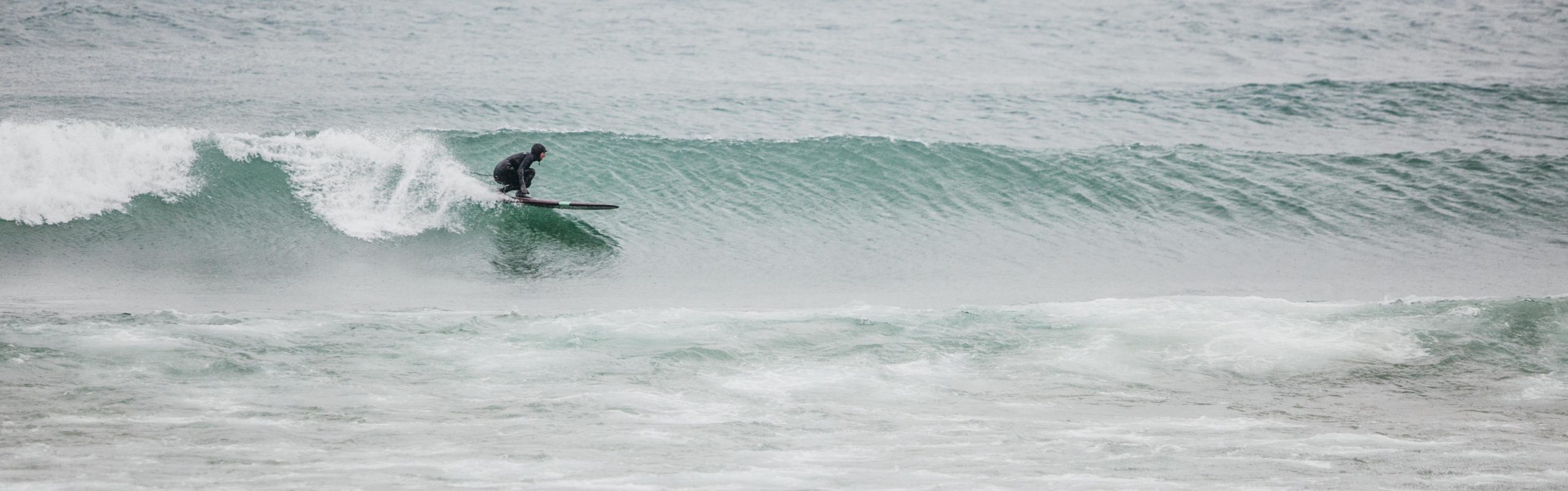
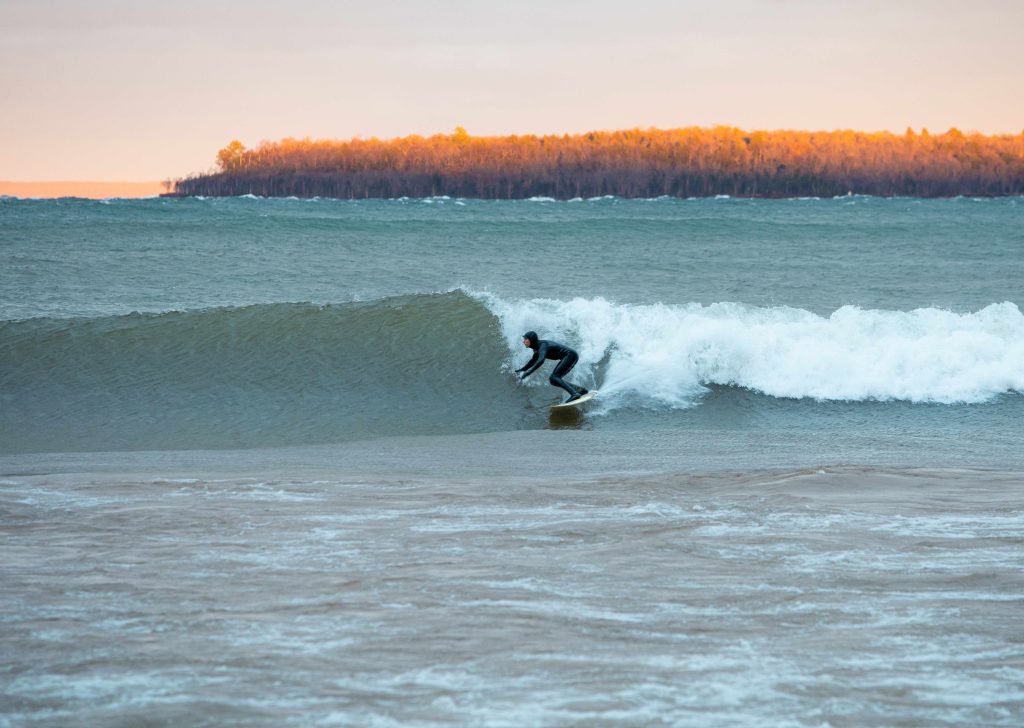
- The bottom contours of the lake are important to be aware of when determining where to find a breaking wave, and how that wave might break. When the water through which the waves, or swell, are traveling becomes too shallow to carry the energy of the swell, the wave will fall over on itself and therefore create a rideable wave. Waves grow in height and power when all factors above work together, as the swell carries over the depth of the Lake.
- If the water changes depth suddenly, waves will break suddenly, causing a more hollow, faster, pitchier, and sometimes more dangerous wave.
- If the depth changes gradually, waves will often break more gradually or more gently. This is often what occurs along points of piers.
- We tend to tuck ourselves up next to Piers, Points, Jetties etc. to find a tid-bit of shelter from the wind and wind-chop, and to score a longer ride. Piers and Jetties often hold the most tried & true surf spots throught the Great Lakes, particularly in Lake Michigan where we have a sandy bottom prone to shifting. Piers have the tendancy to hold formed sandbars in place which makes for a more consistent and predictable spot for waves to break, oftentimes providing a longer, more tapered wave.
- The bottom contours of the lake are important to be aware of when determining where to find a breaking wave, and how that wave might break. When the water through which the waves, or swell, are traveling becomes too shallow to carry the energy of the swell, the wave will fall over on itself and therefore create a rideable wave. Waves grow in height and power when all factors above work together, as the swell carries over the depth of the Lake.
4. Water & Air Temperature
- In the spring, when the ice has cleared and the air begins to warm up, be weary that a forecast that would provide a grade-A surf day in the Fall may actually end up being primo-primo flat-water paddling conditions. We often undergo an ample flat-spell in the spring and early summer when the water temperature is still rather frigid from the icy winter and the air begins to feel like summer. Cold water is dense, and therefore requires significantly more wind energy to create a wave when the air is warm and light. As the water warms throughout the summer, we see significantly more wind energy creating waves on the water. As the air temperature drops, or low-pressure systems move across the lake, we might see more waves with less wind.
- You can surf all year-long in the Great Lakes, just be mindful of how the air and water temperature come into play when you go out to scout!
- If you’re itching to play in the Fall or Winter make sure you’re equipped with the proper gear!
- You can surf all year-long in the Great Lakes, just be mindful of how the air and water temperature come into play when you go out to scout!
- In the spring, when the ice has cleared and the air begins to warm up, be weary that a forecast that would provide a grade-A surf day in the Fall may actually end up being primo-primo flat-water paddling conditions. We often undergo an ample flat-spell in the spring and early summer when the water temperature is still rather frigid from the icy winter and the air begins to feel like summer. Cold water is dense, and therefore requires significantly more wind energy to create a wave when the air is warm and light. As the water warms throughout the summer, we see significantly more wind energy creating waves on the water. As the air temperature drops, or low-pressure systems move across the lake, we might see more waves with less wind.

Wind
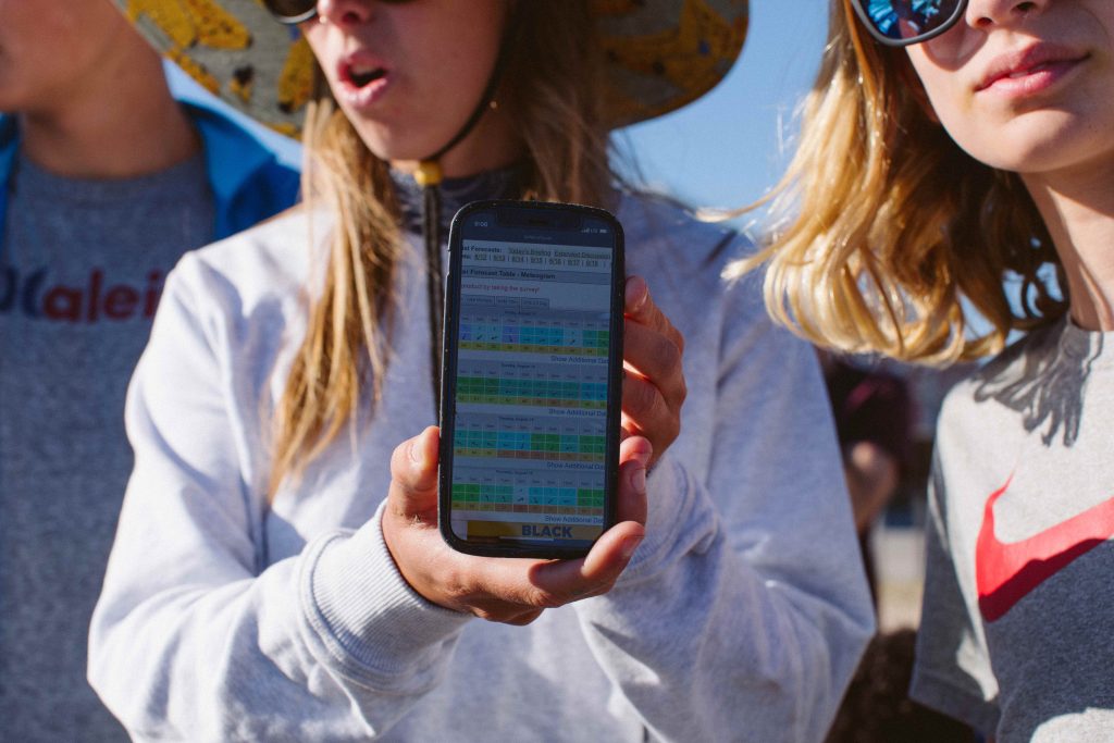
- iWindsurf – A go-to wind forecasting source for all of the Great Lakes. Just put in your zip-code, and under meteograms click where you’d like to search – this will bring you to a ten day wind outlook showcasing speed, direction, and temperature
- Windy – A reliable, moving & interactive, color coded, wind map for all of the Great Lakes
- Sailflow – Another trusted color coded, interactive wind predition model of the Great Lakes
Waves
- Great Lakes Environmental Research Laboratory(GLERL)NCEP WaveWatch – A color coded, 5-day wind & wave map of the Great Lakes
- NOAA Great Lakes Portal – Similar data to the above in a different format
- Great Lakes Marine Forecasts by Zone
- Nearshore Marine Forecast for Greater Lake MI
Water Temperature & Ice Coverage
- Great Lakes Coastal Forecast System (GLCFS) – Click on your lake for current water temperatures, ice coverage data, and surface currents
- NOAA Graphical Forecasts – An outlook that gives basic forecasting information in regard to Weather, Temperature, Wind, Wave Height, Snow, and Ice Cover
- NOAA Coast Watch Ice Data – See Great Lakes ice trends and outlooks
Real Time Data from Great Lakes Buoys
- Great Lakes Observing System (GLOS) – Click on a buoy or weather station to get real time (or dang near close) wind direction & speed, wave height, wave period, water temperature and more!
- LOONIE 2.0 – In 2019, we partnered with our buddies at GLOS to sponsor and put out one of the first pilot SPOT Buoys on the Great Lakes. Since then, Loonie, and now as of October ’23, Loonie 2.0, has been collecting data on wave height, mean wave period, wind speed & direction, surface water temperature, and more!
- This is our go-to buoy for forecasting close to home, and to get live, near-shore updates!
- LOONIE 2.0 – In 2019, we partnered with our buddies at GLOS to sponsor and put out one of the first pilot SPOT Buoys on the Great Lakes. Since then, Loonie, and now as of October ’23, Loonie 2.0, has been collecting data on wave height, mean wave period, wind speed & direction, surface water temperature, and more!
- NOAA National Data Buoy Center – This will give you real-time data to show you wave heights, water temperature, and wind speed & direction in the open water throughout the Great Lakes – zoom in and out to explore by lake
- Here are our other go-to buoys for Lake Michigan (we will often check them all, to see how wave height is developing across the lake)

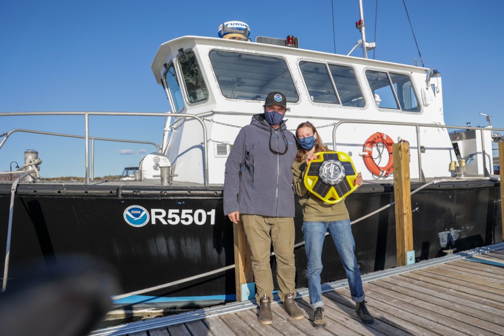
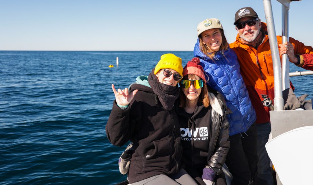
We are honored to be the caretakers & sponsors of Loonie – a Spotter Buoy collecting data for science, safety and sarfin’ 3 miles off the coast of Point Betsie! See live wave and wind reports, water temperature, and more! This little buddy now stays out all year! Massive thanks to our buddy Hayden Henderson, and the fine folk at the Great Lakes Observing System (GLOS), Great Lakes Environmental Research Laboratory (GLERL), the Cooperative Institute for Great Lakes Research (CIGLR), and NOAA for their partnership.